
The main content of this page starts here
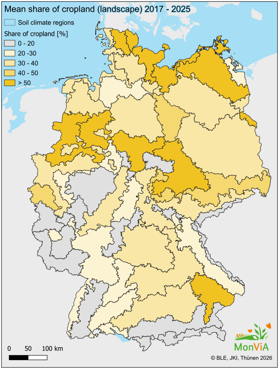
Land cover diversity influences the quality and quantity of food resources and habitats. This applies not only to the heterogeneity of the agricultural landscape itself, but also to the surrounding landscape matrix, which provides food resources and habitats for species found within the agricultural landscape. The indicator depicts the area shares of the main land cover classes (see Annex I). The spatially explicit representation at high resolution (i.e., 100 ha hexagons) enables the identification and assessment of spatial patterns of land cover as well as medium- to long-term changes (trends). The calculation of the indicator is based on the mean of a time series (currently 2017–2025) with national spatial coverage.
Last updated: 2026 based on Indicator Sheet v2025_1